




Find, save and share Public Notices that affect you in the area.
Search the Public Notice Portal What is the Public Notice Portal?What is the Public Notice Portal?
The Public Notice Portal carries statutory public notices published in local newspapers and is the fastest and most effective way of finding out what is happening in YOUR neighbourhood.
Search the Public Notice PortalA key 'green wedge' separating Taunton from its neighbouring villages could have its fate secured as part of Somerset's new local plan.
The Taunton Deane Core Strategy (which was signed off by the Planning Inspectorate in July 2012) identified numerous sites which would deliver new housing and commercial premises within Taunton, Wellington, Wiveliscombe and the surrounding villages.
The strategy (which is legally binding until 2028) also identified a number of key landscapes to serve as 'green wedges' to safeguard the environment and prevent Taunton from needlessly merging with its immediate neighbours.
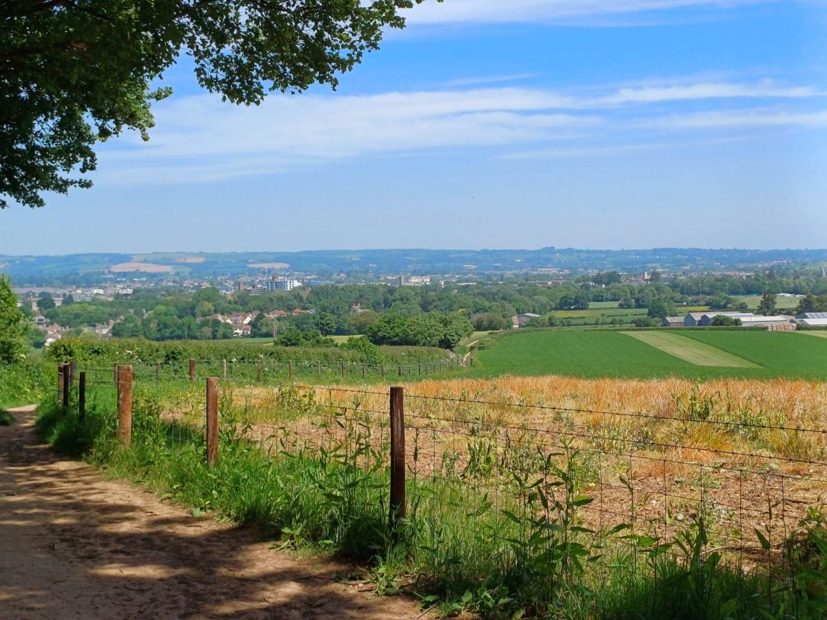
One such 'green wedge' lies at the county town's southern edge, separating the Killams Park housing estate from the village of Trull.
Following the initial 'call for sites', Taunton residents will have an opportunity to secure the future of this 'green wedge' as the formal consultation on the new Somerset Local Plan begins in the spring of 2026.
The Taunton Deane Core Strategy committed to "protecting and extending the town’s distinctive green wedges and corridors, and developing a comprehensive network of green and blue infrastructure across the town".
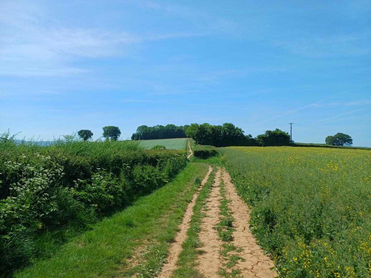
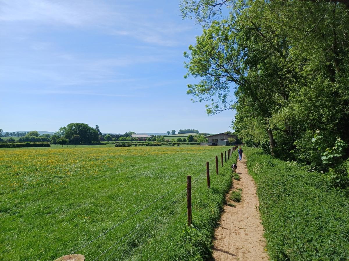
The south Taunton green wedge builds on the existing green space and leisure facilities within Vivary Park, and is connected by several footpaths between the town centre, the neighbouring villages and the Blackdown Hills national landscape (formerly area of outstanding natural beauty, or AONB).
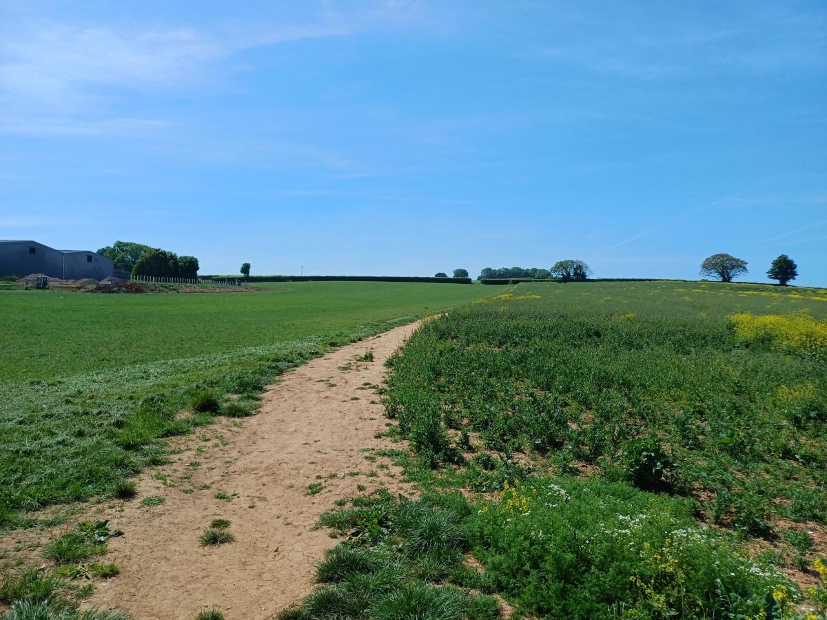
One such footpath, which runs from the Killams Park estate to the Sherford Stream via a nearby farm, has been short-listed for potential improvements as part of wider efforts to deliver the 'red route' within the Taunton local cycling and walking infrastructure plan (LCWIP).
This 'red route', when complete, will provide car-free access from the Nerrols Farm development on the northern edge of the town to the Orchard Grove development at the south-western edge, passing via Taunton railway station, the Firepool and Coal Orchard regeneration sites, Vivary Park and the existing Sherford and Wilton residential areas.
Under the legal agreements signed between Somerset Council and Summerfield Developments (known as a Section 106 agreement), funding has been set aside to deliver numerous walking and cycling improvements which must be implemented by the time the final house within the Killams Park estate is completed and occupied.
This includes an unspecified contribution towards "the construction of a new cycle route between Mountfield Road and Sherford Road along the line of the existing footpath".
The council stated in August 2024: "A contribution was secured through the Killams Park Section 106 agreement to deliver a number of schemes to improve pedestrian and cycling connectivity in south Taunton. At present we are looking at what can be delivered in this location."
The wider 'green wedge' can be accessed via the East Deane Way circular footpath, which runs through Taunton town centre and Vivary Park, moving south along the Sherford Stream and climbing past Cutliffe Farm into the open countryside into a recognised 'special area of conservation'.
This footpath provides a direct pedestrian link to the village of Trull, emerging on Church Walk at the eastern edge of the village a short distance from the local church, primary school and the Winchester Arms public house.
With Trull being increasingly in the shadow of the Orchard Grove site, and the government drastically raising Somerset's housing targets, protecting local green wedges will become all the more essential to prevent urban sprawl and ensure the county's rural character isn't eroded beyond all recognition.
The initial Somerset Local Plan 'call for sites' concluded on February 24, with the council's planning officers currently analysing the information supplied.
A spokesperson said: "During this time, landowners, developers, and site promoters were invited to submit land they want to develop to the council.
"This process is crucial for gathering information to help create the new Somerset Local Plan, following national policy and guidance. We are now reviewing the sites submitted."
Two rounds of public consultation will be staged on the draft Local Plan - one in April 2026, and one in October 2027, with a series of public events being planned on both occasions.
The finalised Local Plan - including policies and allocations of green spaces - will be submitted to the Planning Inspectorate in January 2028, after which a series of public hearings will take place.
If all goes well, the new Local Plan will be formally adopted by the council by March 2029 - shortly after the Taunton Deane Core Strategy ceases to be legally binding.
For more information on the Local Plan (and all existing planning policies), visit www.somerset.gov.uk/planning-buildings-and-land/somerset-local-plan.


Share