






Find, save and share Public Notices that affect you in the area.
Search the Public Notice Portal What is the Public Notice Portal?What is the Public Notice Portal?
The Public Notice Portal carries statutory public notices published in local newspapers and is the fastest and most effective way of finding out what is happening in YOUR neighbourhood.
Search the Public Notice PortalA car-free route through Taunton town centre is steadily taking shape following the opening of the new Firepool boulevard.
Somerset West and Taunton Council secured £13.9m from the government’s future high streets fund in late-2020, to be spent on regeneration projects at Coal Orchard and Firepool, as well as delivering new pedestrian and cycle routes throughout the town.
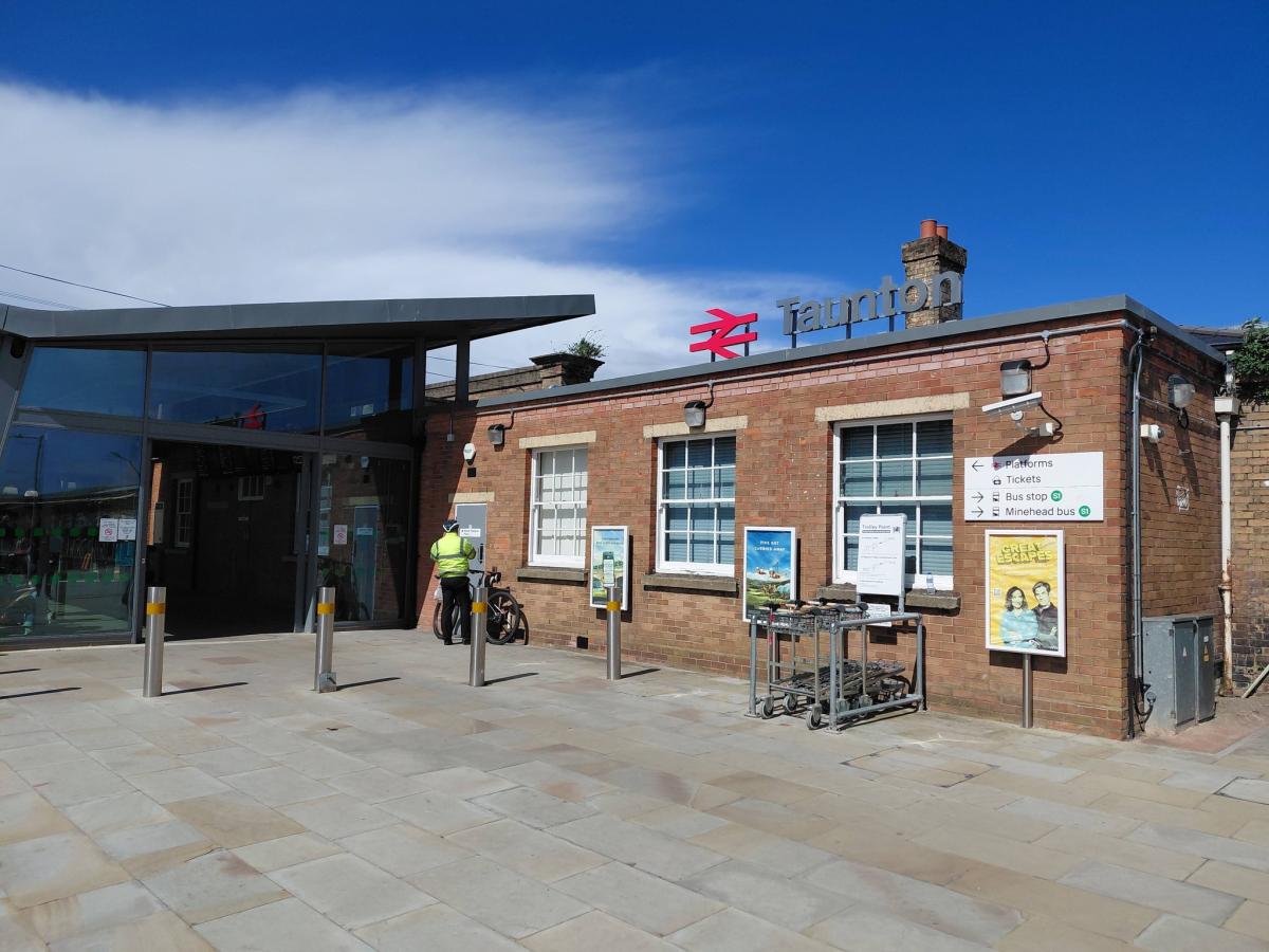
Since the funding was secured, the council and its successors have been working to implement numerous improvements, focusing on an uninterrupted route between the town's railway station and Vivary Park, via the two regeneration sites.
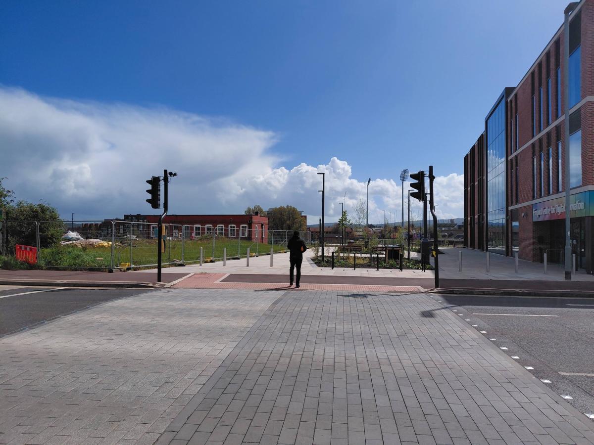
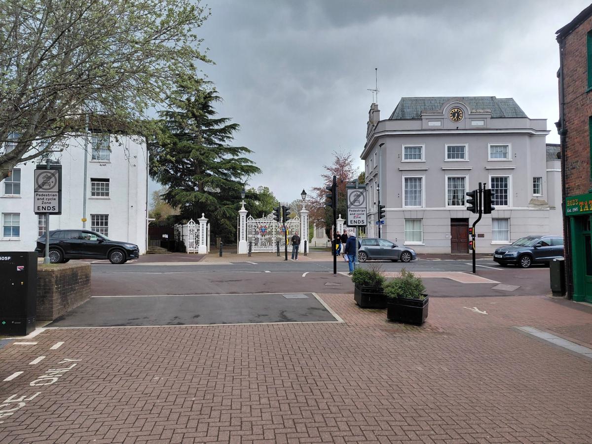
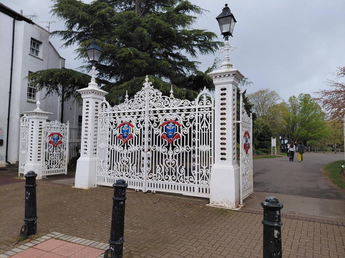
Following the completion of an improved crossing over the A38 Upper High Street (near the park's main entrance) in August 2024, Somerset Council has prioritised the delivery of the new boulevard through the Firepool site, along with a new vehicular access from the A3087 Trenchard Way.
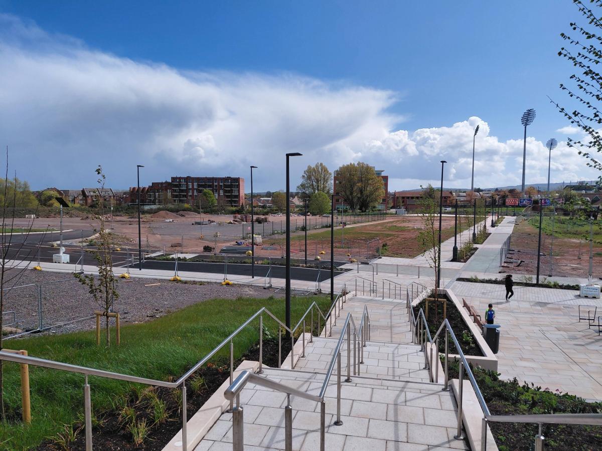
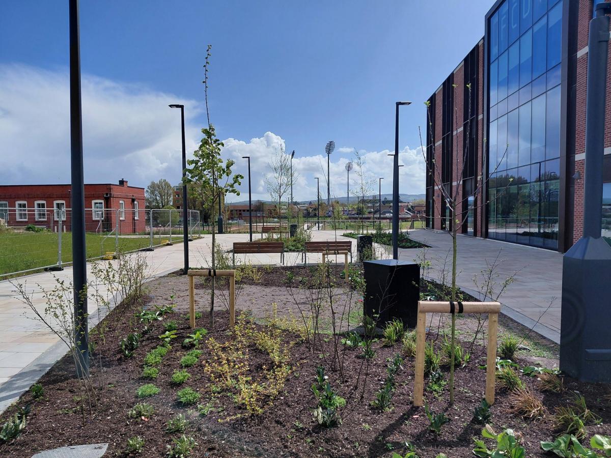
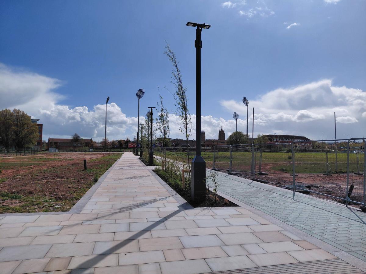
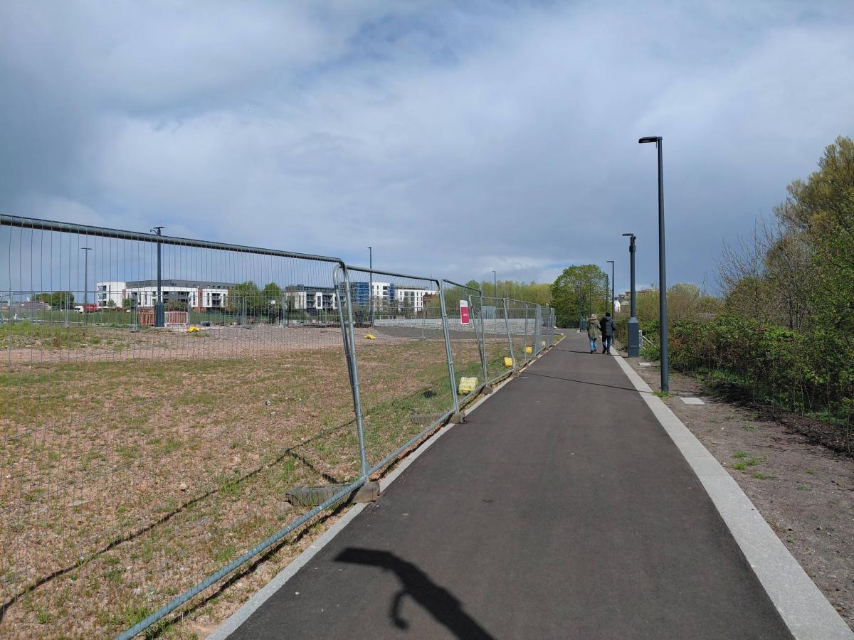
After months of delays, the new boulevard is finally open to the public, providing a faster route to the town centre for rail passengers, cricket fans, tourists and existing residents.
But further work remains to be done with the remaining grant funding to deliver outstanding improvements to the route - which will prove all the more essential as new homes are delivered at the town's northern edge.
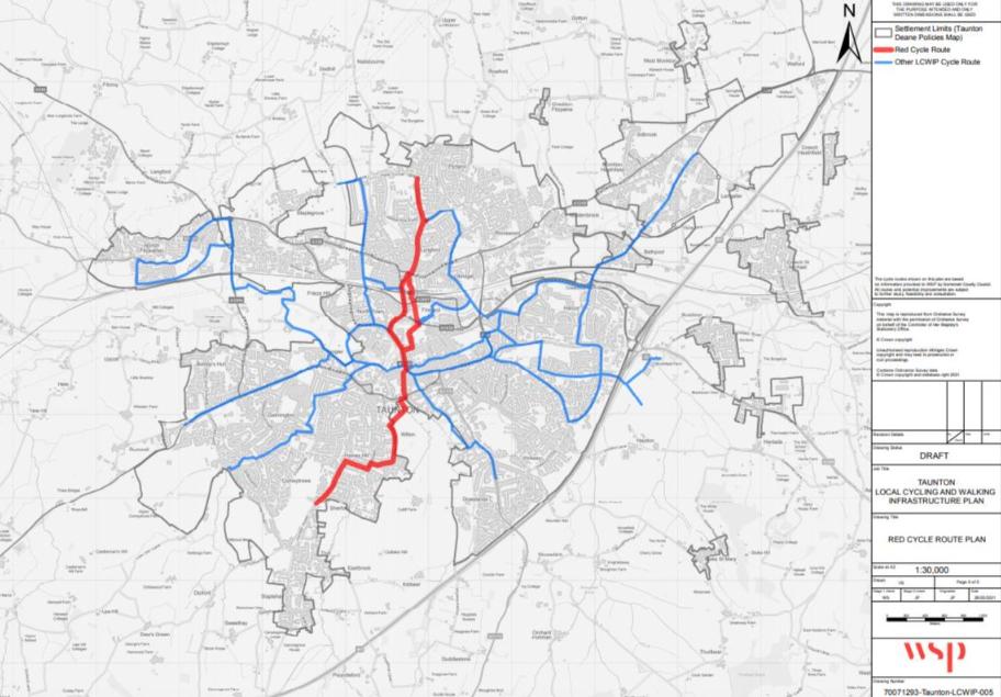
The route from the railway station to Vivary Park forms part of the wider 'red route' identified within the Taunton local cycling and walking infrastructure plan (LCWIP), which was published by Somerset County Council in October 2021.
The northern end of the 'red route' begins on Cheddon Road near two key housing developments - phase three of the Nerrols Farm estate (which was approved in April 2025) and a planned development of 112 homes at Pyrland Farm (which was approved on appeal in early-March).
From there the route runs south along the length of Cheddon Road, crossing over the A358 Priorswood Road and down along Clifton Terrace and Kingston Road, enabling access to the railway station's northern entrance.

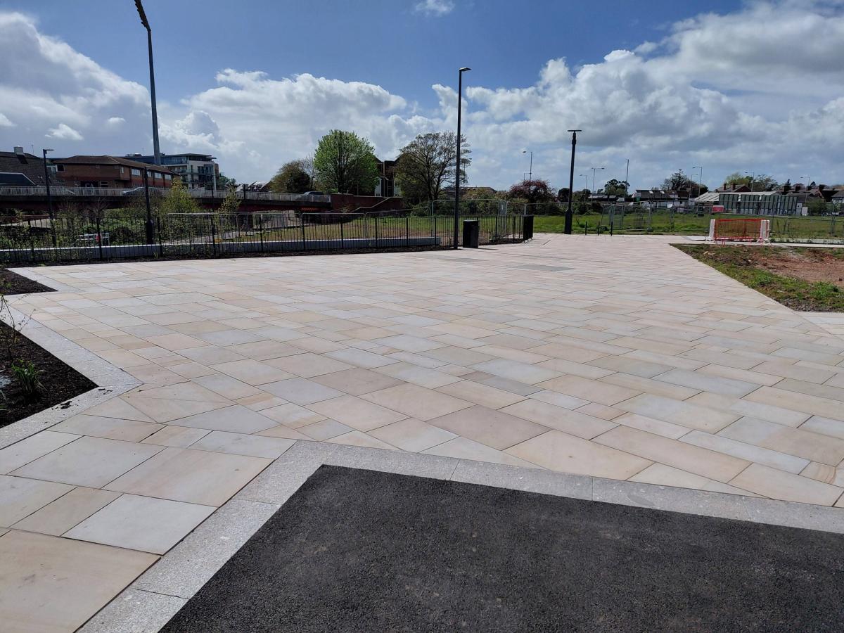
The new Firepool boulevard and access road - funded by £5m from the future high streets fund grant - provides two access points to the brownfield site, making it easier for residential and commercial development to take place in the future.
To the east of the railway station's multi-storey car park, a new access road has been created to link the site to Canal Road, with a spur road being included to provide access to the eastern parcel of the site (which is earmarked for residential development within the council's Firepool masterplan).
This access road contains a demarcated cycle lane, which links up not only to the new boulevard but to Firepool Lock, providing a seamless transition onto the tow-path of the Bridgwater and Taunton Canal.
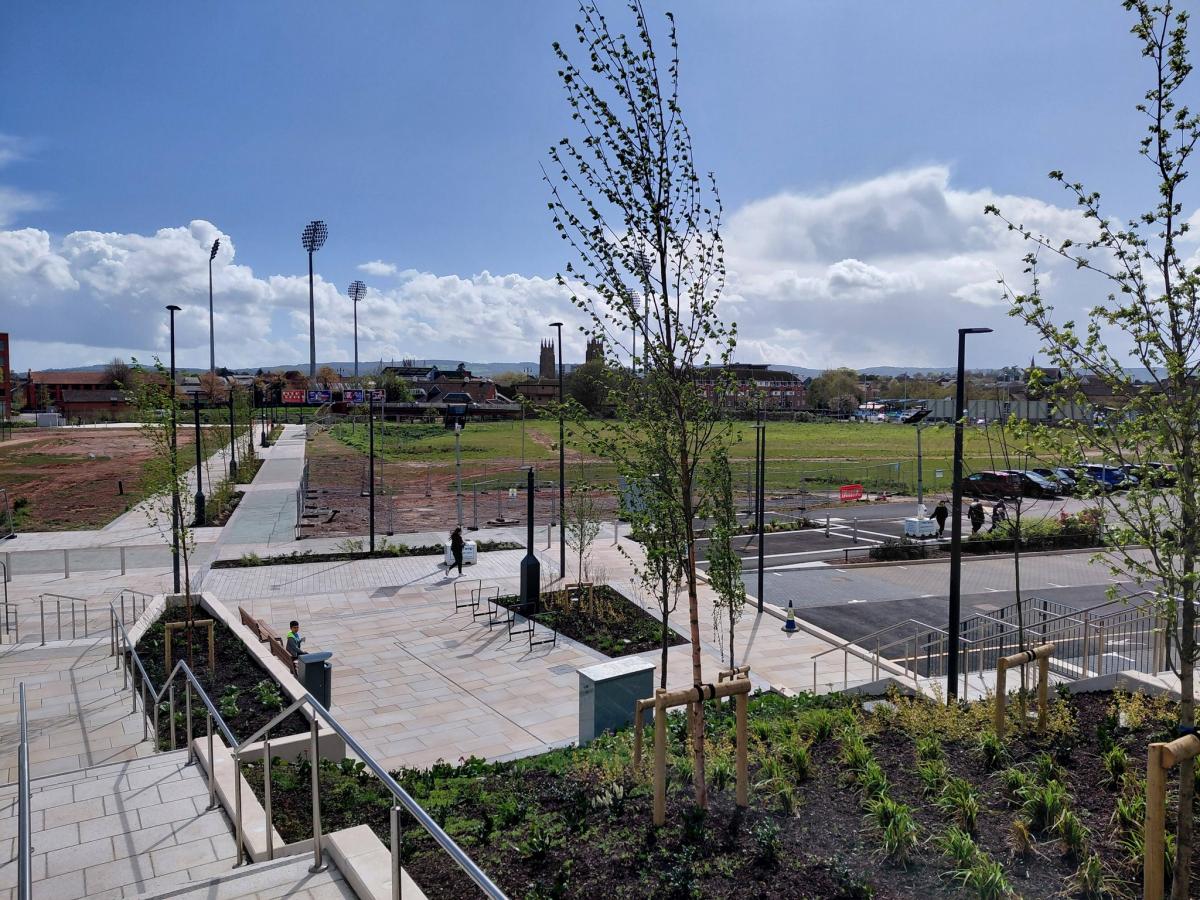
For pedestrians and cyclists leaving the station and crossing Trenchard Way, they can now take a swift journey down several flights of steps - or a smooth, wide ramp around the former GWR goods office - to bring them down into the main site.

Councillor Mike Rigby, portfolio holder for economic development, planning and assets, said: "It has taken longer than we would all have liked to get this far.
"There's been one or two issues with, for example, the electrical connections - the lighting on the southern part won't be live for another few weeks.
"We've also had issues with the sewerage on the site, and Wessex Water's infrastructure that sits underneath it.
"Where the steps are now, we found some asbestos - that wasn't expected, so that had to be fully decontaminated, which put us back about six to eight weeks.

"But it's now looking good - I'm very pleased with the finishes, the surface materials and the landscaping."
A temporary boulevard through the Firepool site was installed in 2019 in time for the cricket world cup, with Somerset County Cricket Club hosting three group stage matches in the tournament.
Mr Rigby (who represents the Lydeard division near Taunton) said that the new boulevard's delivery was helping to drive forward the redevelopment of the remaining land.
He said: "This is all part of the masterplan for the wider Firepool redevelopment.
Read more
"We're in discussions with several developers about the site between Trenchard Way and the GWR goods office - that could get away in very short order.
"We've done some soft market testing with a number of developers about the wider cattle market site, and that's helping to inform what sort of uses we're going to see there.
"There's more work to do on that, but I want to see something as closely aligned with the masterplan as possible.
"It's all about de-risking things for a developer - the fewer issues there are, the more likely we are to get what we want.

"We've brought the site up out of the floodplain, we've dealt with the drainage, we've put in the sewerage piping, and we've put the access in. That helps to push things over the line."
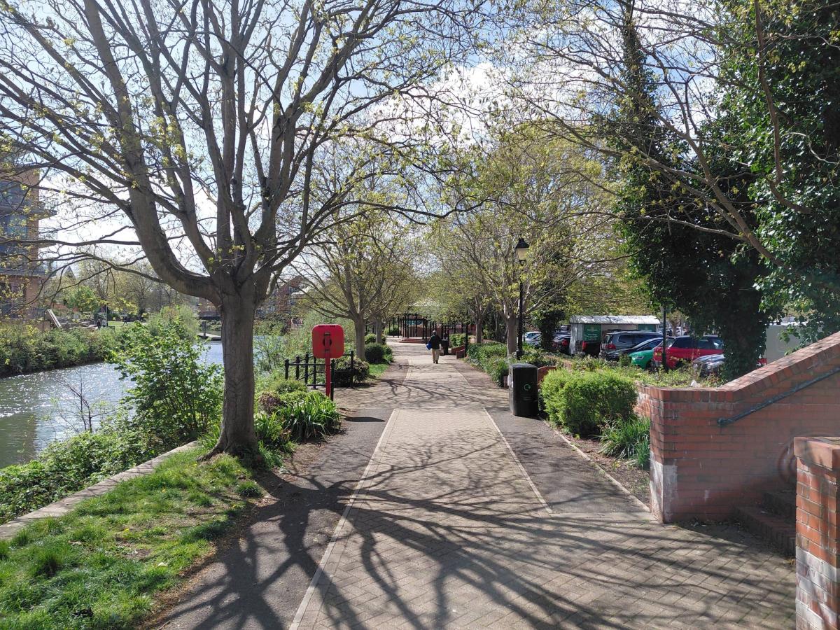
From the Firepool site, visitors can stroll through the heart of the site, through the new 'amphitheatre' area and join National Cycle Network route 3 running along the north bank of the River Tone.
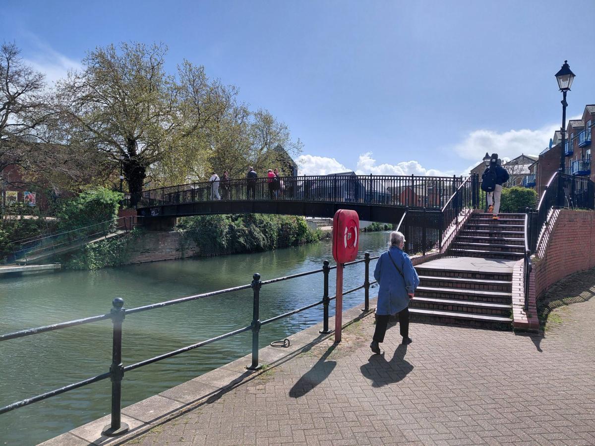
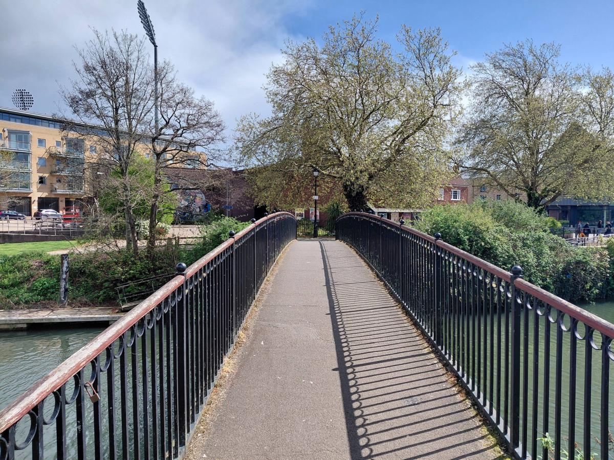
Cyclists wishing to use the existing Morrisons footbridge, which links the eponymous supermarket to the Brewhouse Theatre, currently have to dismount since it is too narrow for pedestrians and cyclists to safely share the same space.
The council secured planning permission in August 2024 to replace it with a new bridge which is four metres wide – meeting the Department for Transport’s guidelines for how much room is needed to allow pedestrians and cyclists to use the route at the same time (known as the LTN 120).

The installation of the bridge (which is being largely funded through the future high streets fund) has been repeatedly delayed over the last 18 months - with Mr Rigby (himself a keen cyclist) being unable to provide a firm date for when would would begin.
He said: "We don't have a date yet, and we're still running through some of the details of that particular project."
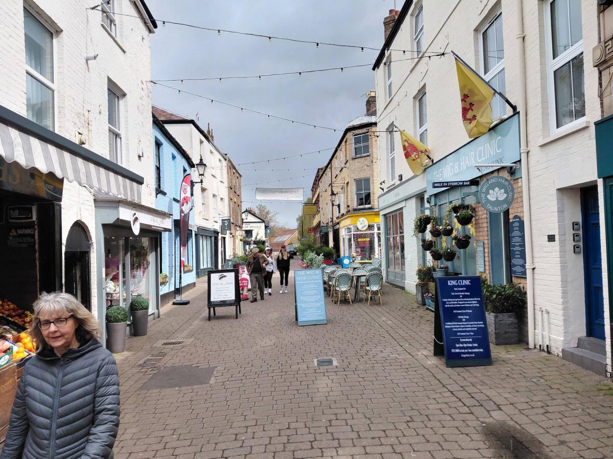
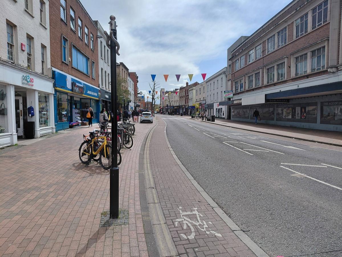
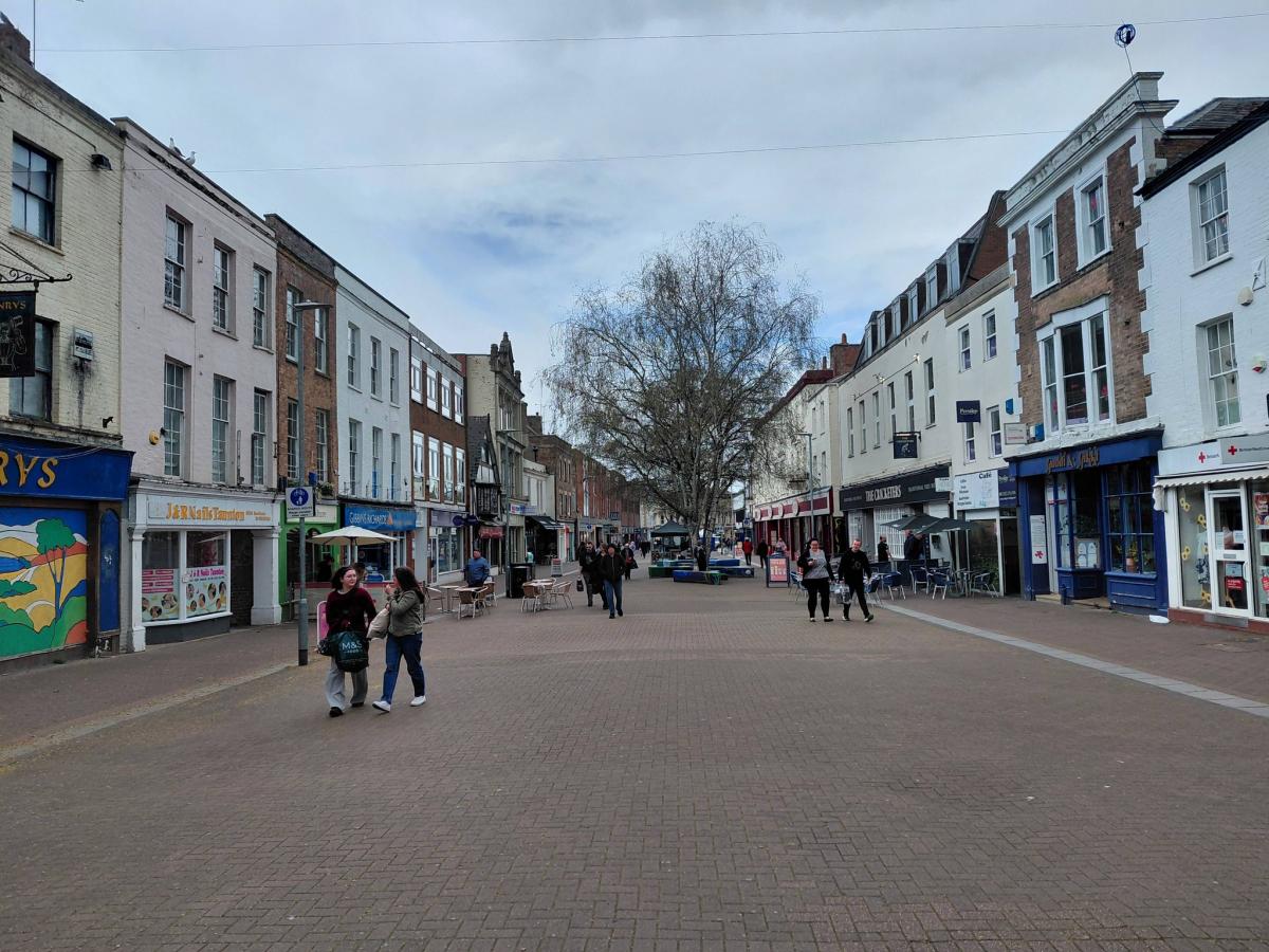
From Coal Orchard, pedestrians and cyclists are within easy reach of Taunton's independent quarter, with the 'red route' continuing along the pedestrianised St. James Street and emerging onto the A3027 North Street near the former Debenhams store.
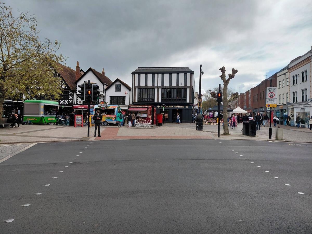
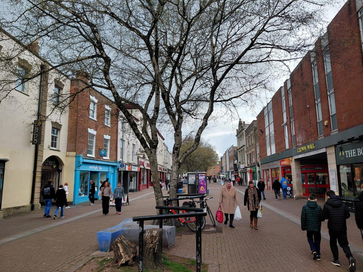
From there, the route follows North Street over Corporation Street (near the Market House roundabout) and onto the pedestrianised High Street before crossing over the A38 into Vivary Park.

Thereafter, the 'red route' runs through the park and the Wilton and Sherford residential areas, currently terminating near Queen's College, a short distance from the edge of the Orchard Grove development site.
The LCWIP identifies a number of long-term improvements at the southern end of the route which could be implemented as funding becomes available.
These include an enhanced cycle link along Trull Road between Wild Oak Lane and the existing zebra crossing, a similar link from Queen's College to Sherford Road, and widening the existing connection on Cherry Tree Lane.
A spokesperson said: "This areas is identified as having strong existing and potential cycling demand from the residential area of Trull.
"It connects key education facilities to the town centre network. Any final route is to be decided following consultation."


Share